

Topcon Authorized Distributor in India

Topcon Auto Level AT-B2 

Magnification32x
TypePendulum compensator with magnetic damping system
Operating Temperature-4°F to +122°F
(-20ºC to +50ºC)
WaterproofIPX6  (IEC 60529:2001)
Dimensions
5.12 in. (130mm) x W
8.46 in. (215mm) x D
5.51 in. (140mm) x H
WeightAT-B2: 4.1 lbs. (1.85kg)
Object Aperture42 mm (1.65 inch)
Setting Accuracy0.3”

Topcon auto level AT-B2  is the ideal device for determining height differentials on busy and noisy job sites. With a completely new small lightweight design, they have excellent visibility of horizontal circle, superior gear ratio for shock and vibration and improved tangents and knobs.

• 32x magnification
• Rapid, accurate, and stable automatic compensation
• Ultra-short 20cm focusing
• All-weather dependability
• Endless fine horizontal adjustments

Applications of Topcon Auto Level AT-B2

  • Construction Projects
  • Road Construction
  • Land Surveying
  • Site Development
  • Civil Engineering Projects

Why Choose Skipper Technologies?

Skipper Technologies is an authorized distributor of Topcon survey instruments in India, providing genuine products, technical support, and nationwide service.

Auto Level FAQ

The Topcon AT-B2 Auto Level is used for precise leveling and elevation measurements in construction, land surveying, road projects, and civil engineering applications.

The Topcon AT-B2 features 32x magnification, providing clear visibility and accurate measurements over long distances.

The Topcon AT-B2 offers 0.3 arc-second setting accuracy, making it suitable for high-precision surveying and construction projects.

Yes. The Topcon AT-B2 has an IPX6 waterproof rating, ensuring reliable performance in challenging outdoor conditions.

Yes. The AT-B2 is ideal for land surveying, benchmark establishment, contour surveys, and elevation measurements.

Section Title

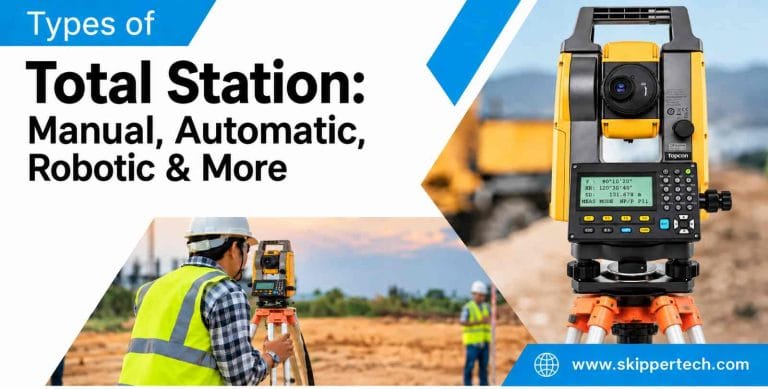
Types of Total Station: Manual, Automatic, Robotic & More 

The total station is the most widely used surveying instrument in modern construction, engineering and measuring the land. It integrates electronic angle measurement, distance measurement, calculation...
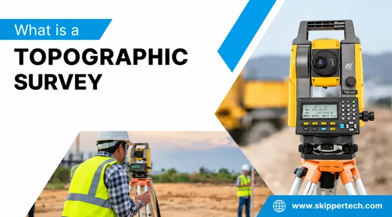
Topographic Survey: Complete Guide, Process, Equipment, Uses and Benefits 

A topographic survey is one of the most important types of surveys in construction, infrastructure, engineering, architecture and land development. Before any building, road, highway, bridge, drainage...
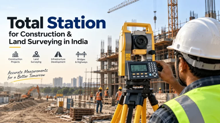
Best Total Station for Construction & Land Surveying in India 

Choosing the best total station for construction and land surveying is a significant decision for surveyors, civil engineers, contractors, infrastructure companies and construction professionals. A...
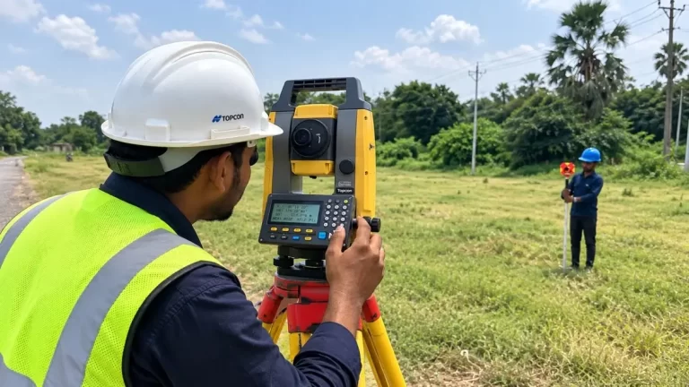
Land Surveying: Complete Guide, Types, Methods, Equipment & Uses

Land surveying is among the most crucial processes in construction, infrastructure development, real estate, mapping and land management. It helps to know the exact position, borders, heights, size...
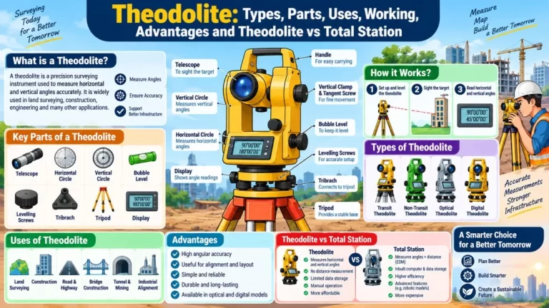
Theodolite: Types, Parts, Uses, Working & Total Station Comparison

A theodolite is a surveying instrument that measures angles, especially horizontal and vertical angles, with great precision. It has been an important tool in land surveying, construction, civil...
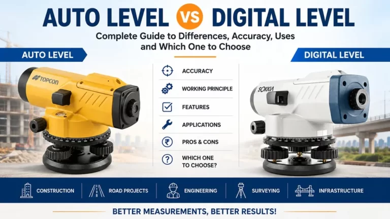
Auto Level vs Digital Level: Complete Guide to Differences, Accuracy, Uses and Which One to Choose 

One of the most important requirements in surveying, construction, infrastructure development, road projects, drainage work, and building layout is accurate elevation measurement. A small mistake in...
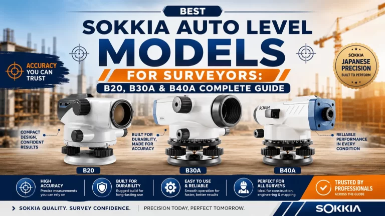
Best Sokkia Auto Level Models for Surveyors: B20, B30A & B40A Guide

Selecting the proper survey instrument is necessary to guarantee accurate results in construction sites, infrastructure projects, road construction, land leveling and other civil engineering...
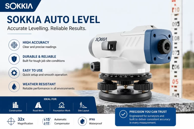
How to Use Sokkia Auto Level for Accurate Levelling: A Complete Guide

Accurate leveling is one of the most important activities in land survey, construction, road development, drainage work and civil engineering projects. A small error in elevation can cause major...
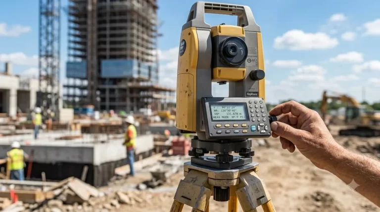
Common Errors in Total Station Surveying and How to Fix Them

Total stations are the indispensable backbone of modern geospatial surveying, boundary establishment and site layout. It is integrated with an Electronic Distance Meter (EDM), electronic digital...