

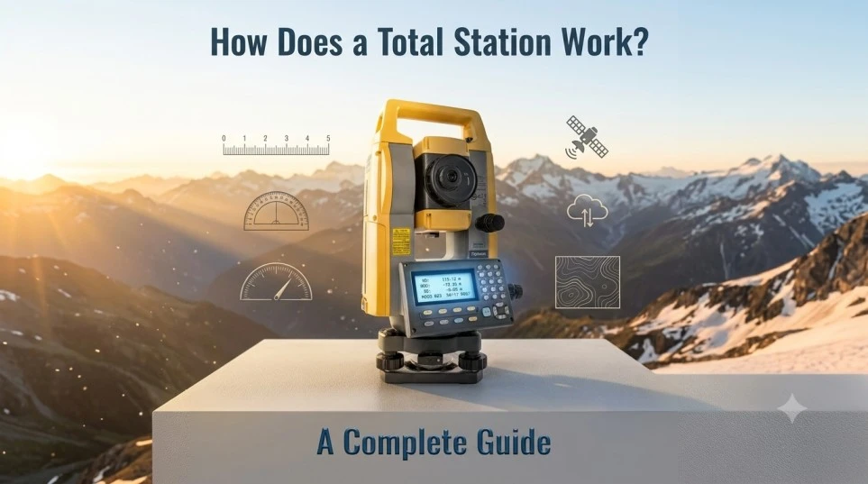
Total stations are an essential part of modern surveying, construction and civil engineering projects. If you’ve ever wondered how surveyors manage to be so precise, or what the heck those tripod-mounted instruments on construction sites actually do, this guide will answer all your questions. In this detailed guide, we’re going to cover what a total station is, how it works, the major components, types, applications and tips to get the best out of this amazing device.
What is a Total Station?
A total station is a modern electronic surveying instrument that incorporates several functions into one instrument:
1. Electronic Theodolite (for angle measurement)
2. Electronic Distance Meter (EDM) (for measuring distances)
3. Microprocessor (calculation, data storage, and communication)
Surveyors can measure horizontal angles, vertical angles, and distances all from one setup with a total station. And therefore, the total station is a game changer in land surveying, engineering and construction.
Key Components of a Total Station
Understanding a total station starts with its components. The core parts include:
- Telescope: For sighting and focusing on targets.
- EDM (Electronic Distance Measurement): Measures distances using laser or infrared technology.
- Angle Measurement System: Measures both horizontal and vertical angles.
- Display and Control Panel: Shows data, settings, and allows input.
- Microprocessor: Processes and stores measurement data.
- Data Storage: Internal memory or external devices (USB, SD card).
- Battery: Portable power for fieldwork.
- Plummet (Optical or Laser): For precise centering over a survey point.
- Tribrach: Provides a stable base and allows quick instrument removal.
- Leveling Screws and Bubble Levels: Ensure instrument is perfectly leveled.
How Does a Total Station Work? Step-by-Step
1. Setup and Leveling
- Place the total station on a tripod over a survey point.
- Use the built-in plummet (optical or laser) to center it accurately over the marker.
- Adjust the leveling screws and bubble levels to ensure the instrument is perfectly horizontal.
2. Target Sighting
- Aim the telescope at a target prism or reflector (usually placed on a rod at the point to be measured).
- Lock the telescope in place.
3. Angle Measurement
- The total station’s theodolite measures the horizontal and vertical angles to the target.
- Angles are displayed digitally for precision.
4. Distance Measurement
- The EDM sends a laser or infrared beam to the prism.
- The beam is reflected back to the total station.
- The instrument calculates the distance by measuring the time it takes for the signal to return.
5. Coordinate Calculation
- The total station uses trigonometric functions and the known position to calculate exact X, Y, Z coordinates for the target point.
- The computer processes and stores this data instantly.
6. Data Storage and Transfer
- Surveyors can store thousands of points.
- Data is easily transferred to computers or tablets for further analysis, mapping, or CAD work.
Types of Total Stations
When choosing a total station, it’s important to know there are several types:
1. Manual Total Stations
- Require manual aiming and data recording.
- Less expensive; ideal for small projects or beginners.
- Allow for remote operation and automated target tracking.
- A single operator can control the instrument and the target.
- Perfect for large or complex jobs.
3. Reflectorless Total Stations
- Can measure distances directly to objects without a prism.
- Useful in dangerous, inaccessible, or hard-to-reach areas.
Key Features of Modern Total Stations
- High Precision: Measurements can be accurate to within millimeters.
- Integrated GPS: Some units combine GNSS for georeferencing.
- Wireless Connectivity: Bluetooth, Wi-Fi, and USB for easy data transfer.
- Advanced Software: Onboard programs for calculations, staking out, and data management.
- Touchscreen Displays: Intuitive user interfaces for easier operation.
- Long-Lasting Batteries: Designed for all-day field use.
Common Uses of Total Stations
Total stations are the backbone of countless applications, including:
- Land Surveying: Creating property boundaries, topographic maps, and site plans.
- Construction: Layout of buildings, roads, and infrastructure.
- Engineering Projects: Monitoring deformation, volume calculations, and more.
- Mining: Mapping sites, calculating stockpile volumes, and ensuring safety.
- Archaeology: Detailed excavation mapping and artifact positioning.
- Railway and Roadway Alignment: Ensuring precise track and road placement.
- Utility Mapping: Locating underground pipes and cables.
Advantages of Using a Total Station
- Accuracy: Achieve highly precise measurements for critical projects.
- Efficiency: Automates calculations and data handling, saving time.
- Versatility: Suitable for a wide range of environments and tasks.
- Data Integration: Easily exports data for use in GIS, CAD, and mapping software.
- Reduced Labor: Many jobs can be handled by a single surveyor with a robotic total station.
Limitations of Total Stations
While total stations offer many advantages, it’s important to be aware of their limitations:
- Line-of-Sight Required: The instrument and target must see each other.
- Weather Sensitivity: Heavy rain, fog, or dust can affect accuracy.
- Battery Dependency: Long jobs require spare or external batteries.
- Initial Cost: High-quality total stations are a significant investment.
- Learning Curve: Operators require training and experience.
How to Use a Total Station: Step-by-Step Guide
While total stations offer many advantages, it’s important to be aware of their limitations:
- Line-of-Sight Required: The instrument and target must see each other.
- Weather Sensitivity: Heavy rain, fog, or dust can affect accuracy.
- Battery Dependency: Long jobs require spare or external batteries.
- Initial Cost: High-quality total stations are a significant investment.
- Learning Curve: Operators require training and experience.
Best Practices for Total Station Surveying
Here’s a beginner-friendly workflow for using a total station:
1. Preparation
- Inspect the equipment and check battery levels.
- Gather all necessary accessories: tripod, prism, data collector, plumb bob, etc.
2. Setup
- Set up the tripod over the survey point.
- Attach the total station, center and level it carefully.
3. Instrument Calibration
- Follow manufacturer instructions for calibration (compensators, EDM, etc.).
- Zero the instrument as needed.
4. Target Placement
- Place the prism at the location to be measured, ensuring stability and visibility.
5. Measurement
- Aim the telescope and focus on the prism.
- Record angle and distance measurements via the control panel.
- Repeat for each required point.
6. Data Download
- Transfer data to a computer or cloud-based system for processing and mapping.
Troubleshooting Common Issues
- Inaccurate Readings: Check for misleveling, prism alignment, or dirty lenses.
- Communication Errors: Inspect cables, wireless settings, and software compatibility.
- Power Problems: Replace or recharge batteries; carry spares.
- Environmental Interference: Wait for better weather or use reflectorless mode if possible.
The Evolution of Total Stations
Total stations have come a long way since their first introduction in the late 20th century:
- 1970s–1980s: Introduction of EDM with optical theodolites.
- 1990s: Digital displays and onboard microprocessors.
- 2000s: Robotic and reflectorless technology.
- Present: Integrated GNSS, cloud connectivity, AI-based automation, and improved ergonomics.
Tips for Buying a Total Station
- Assess Project Needs: Consider range, accuracy, and features required.
- Choose a Reputable Brand: Top brands include Topcon, Leica, Sokkia, and Trimble.
- Check for Support and Training: Availability of user manuals, software updates, and customer service.
- Compare Manual vs. Robotic Models: Robotic stations offer more automation but come at a higher price.
- Look for Accessory Compatibility: Ensure the instrument works with your existing prisms, rods, and data collectors.
Real-World Applications: Case Studies
1. Urban Development
A city uses total stations to plan new roads, utilities, and commercial sites, ensuring accurate placement and record-keeping.
2. Bridge Construction
Engineers deploy total stations to monitor structural movements, verify alignment, and control construction tolerances.
3. Archaeological Excavations
Archaeologists map dig sites in 3D, documenting every artifact and feature with pinpoint accuracy.
Future Trends in Total Station Technology
- Integration with Drones: Aerial mapping combined with ground-based total stations for hybrid surveys.
- AI and Machine Learning: Automated feature recognition and real-time error correction.
- Remote Collaboration: Teams can share data instantly, making decisions from anywhere.
- Miniaturization: Lighter, more portable instruments for challenging terrain.
Conclusion
The total station is an indispensable tool in the modern world, enabling precise measurements, efficient workflows, and high-quality data for a wide range of fields. Whether you’re a surveyor, engineer, or construction professional, understanding how total stations work—and how to use them effectively—will give you a significant edge.
If you’re interested in total station technology or want help choosing the right model for your project, feel free to contact us
Frequently Asked Questions
- Total stations need line of sight and offer higher relative accuracy.
- GPS/GNSS is better for large-scale mapping but less precise for small, critical jobs.
- Most modern total stations provide 1–5 mm accuracy for distance measurements and 1–10 seconds for angles.
- Calibration should be performed regularly, especially before major projects, after transportation, or if the instrument is dropped.